Project Description
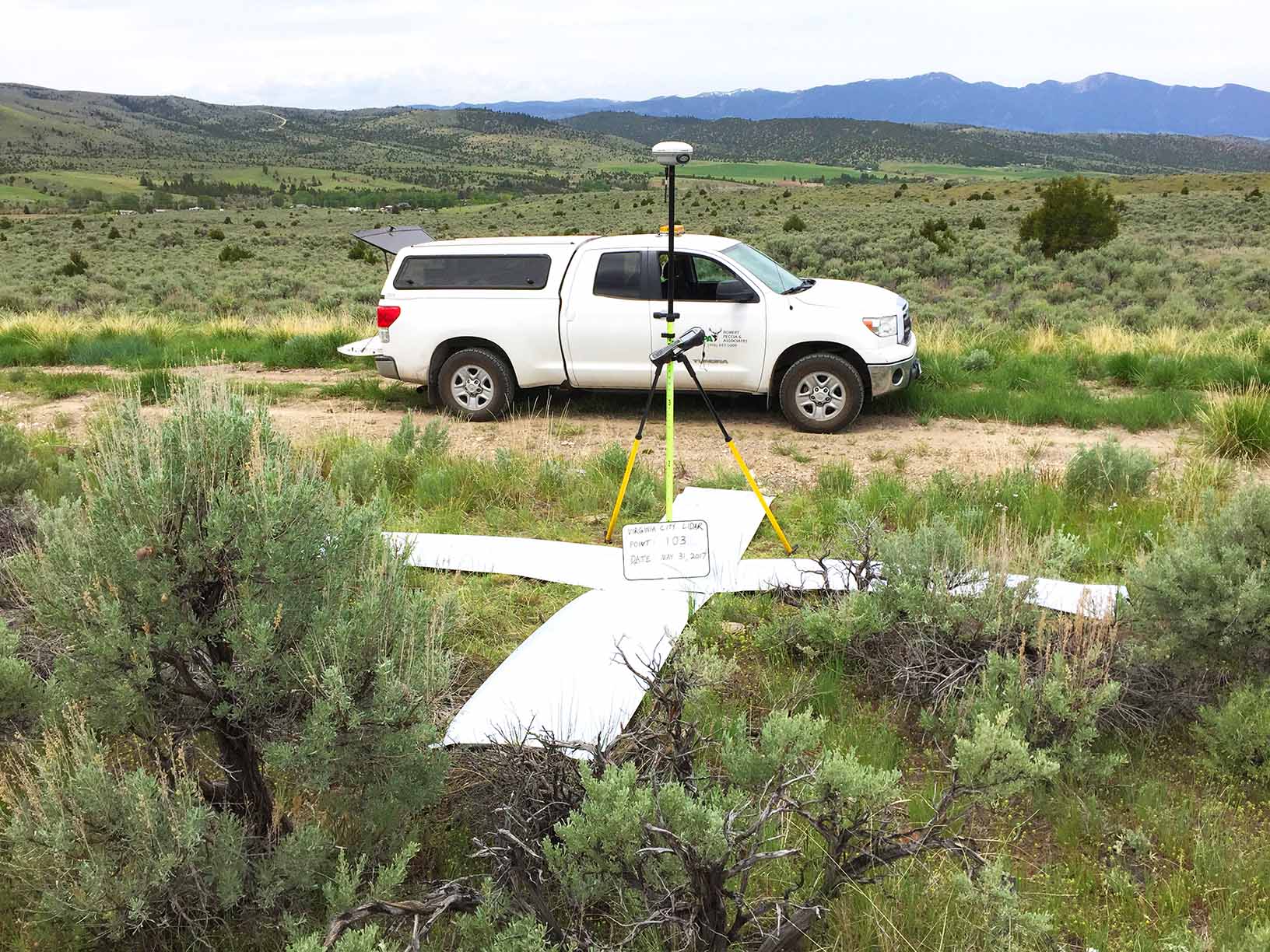
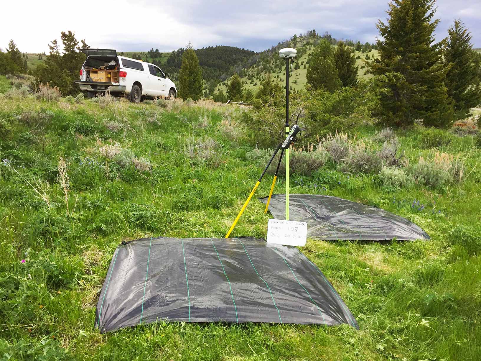
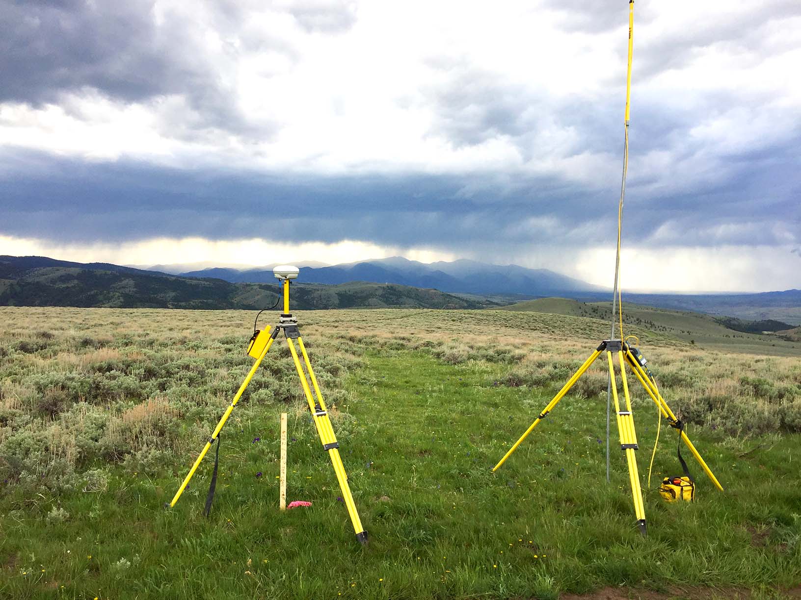
RPA partnered with Aero-Graphics to complete a LiDAR project to provide mapping and aerial photography for a 32-mile square area in and around Virginia City, Montana. Aero-Graphics
requested RPA to set 10+ targets, including 2 porous targets for their work. RPA was able to set and control the project in time for a late notice fight operation (weather delays) and was able to provide continuous GPS ground control for flight operations.
Project Details
Client
Aero-Graphics, Inc.
Location
Virginia City, Montana