Idaho 55 / Banks Lowman Road Intersection Study

RPA conducted a comprehensive evaluation of traffic and safety conditions at the intersection of State Highway 55 and Banks Lowman Road north of Boise, Idaho. After evaluating existing and projected conditions and multiple improvements, a traffic signal was identified as the preferred alternative for the intersection based on its operational performance under future growth scenarios.

Key Project Elements

Project Description

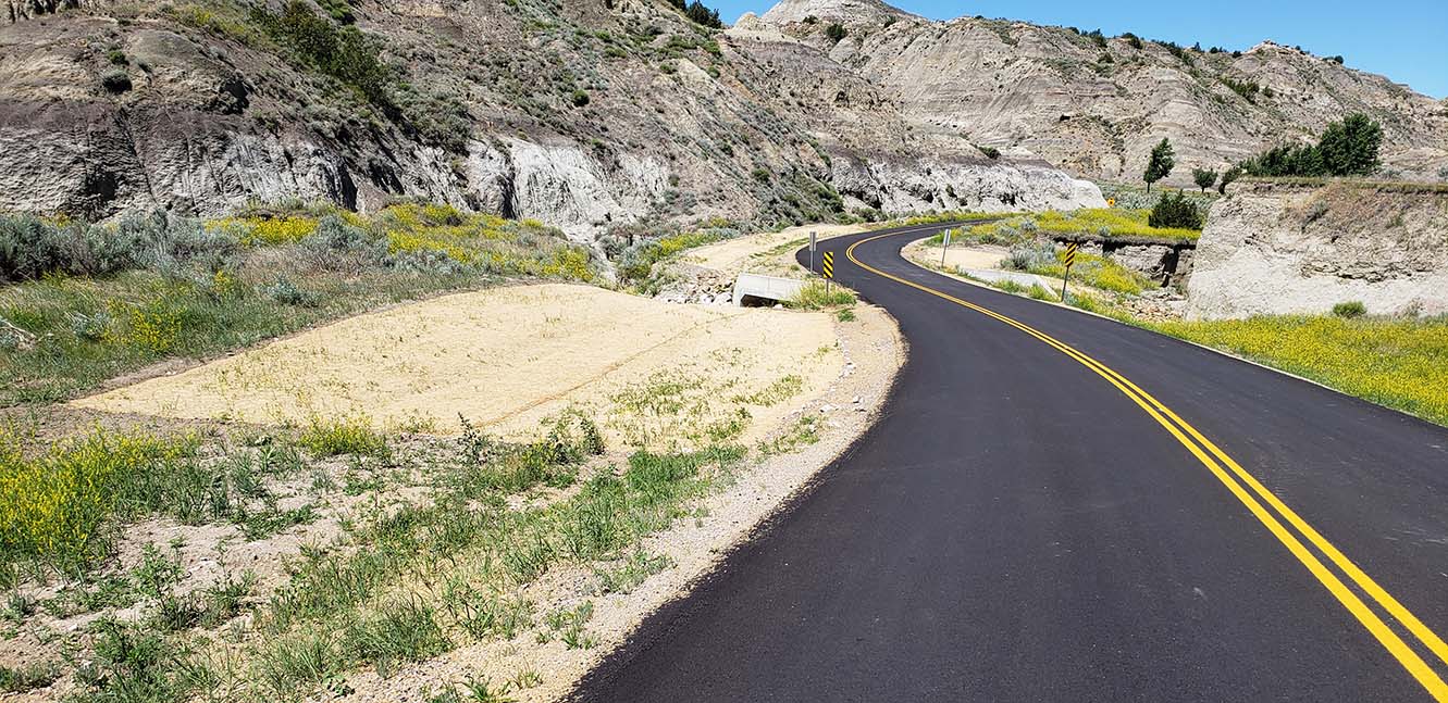
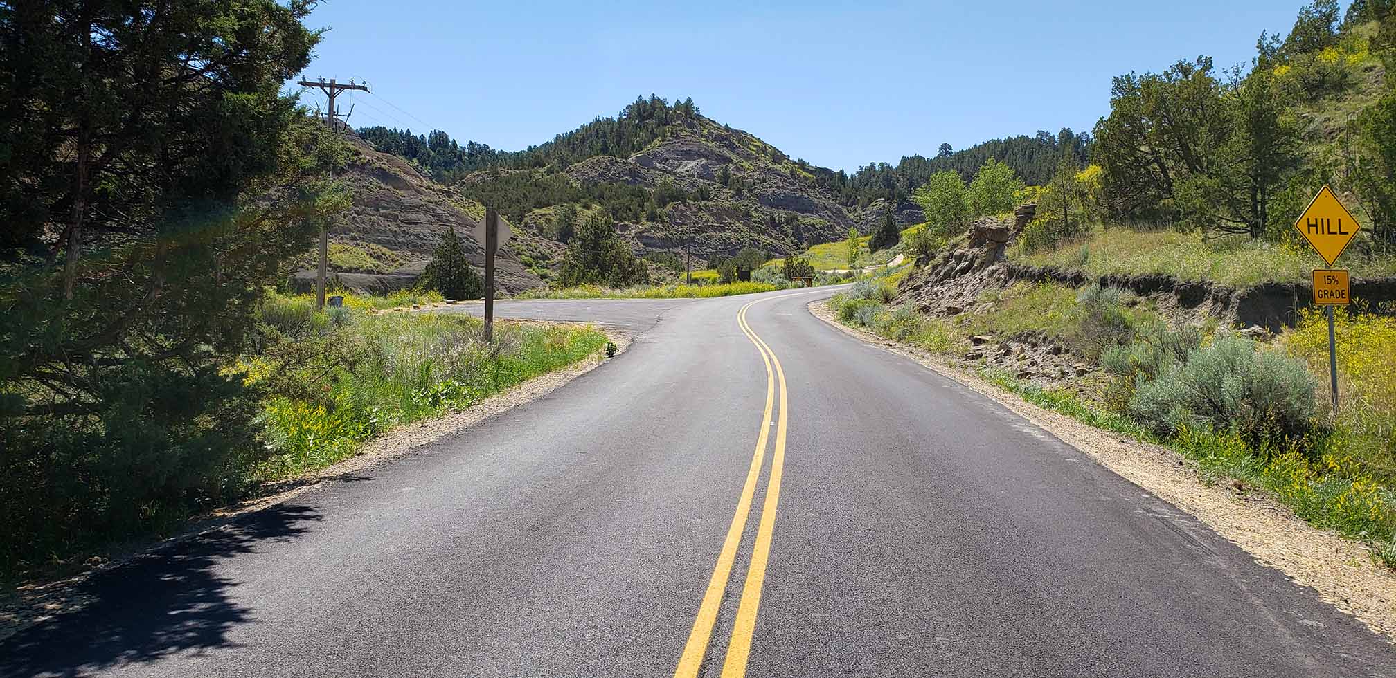
The intersection of State Highway 55 and Banks Lowman Road is located approximately 41 miles north of Boise and provides access to a variety of recreational opportunities in the surrounding public lands. On weekends during the summer, the area experiences an influx of recreational traffic resulting in congestion and lengthy delays for vehicles along Banks Lowman Road. During busy days, the Idaho Transportation Department (ITD) has implemented temporary flagging control to help control and alleviate congestion. As traffic volumes continue to increase, however, the existing strategy is inadequate to meet the growing demands at the intersection.

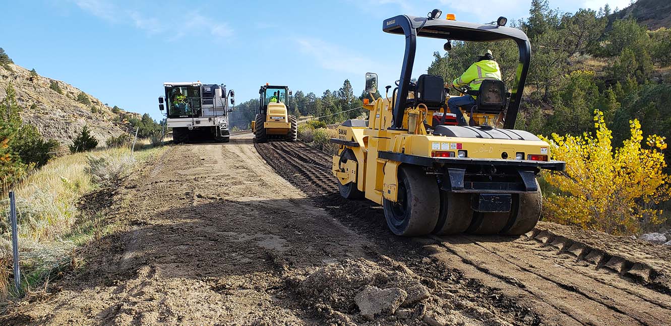
After collecting traffic data and observing vehicle queuing and turning movements in the field, RPA used a multi-step approach to evaluate existing and projected traffic conditions, including both deterministic and microsimulation analyses. To address operational and safety conditions at the site, RPA analyzed multiple alternatives included maintaining the existing two-way stop control, implementing flagging control more frequently, installing a traffic signal, and installing a single-lane roundabout.

While the existing stop control and peak day flagging operation is viable in the short term, the configuration is not sustainable for the long-term. The flagging operation is shown to help alleviate existing congestion concerns, however, the option offers minor capacity increases and would need to be implemented more frequently during the peak season. Automated flagging control was identified as an interim solution while designs for a more permanent solution are developed. Based on the results of the evaluation process, a traffic signal was identified as the preferred alternative for the intersection. Compared to the other traffic control scenarios, the roundabout was shown to provide the lowest capacity and shortest anticipated life. Conversely, the traffic signal provides the greatest life of all alternatives and the best operational performance under future growth scenarios.

Project Details​

Client

Federal Highway Administration - Western Federal Lands (FHWA-WFL)

Location

Boise County, Idaho

Greater Triangle Area Transportation Plan

The Greater Triangle Area Transportation Plan was developed to guide transportation infrastructure investments based on system needs and anticipated developments over the next 20 years. The Plan included the areas between Four Corners, Belgrade, and Bozeman where recent suburban development has occurred or is anticipated to occur in the future. The comprehensive plan provides a vision for county officials, staff, and residents to work together to develop innovative approaches to plan and implement a transportation system that will serve the community’s citizens well into the future.

Project Description

Gallatin County has experienced significant growth over the past 40 years. The county has consistently outpaced the population growth of other Montana counties. This growth can be attributed to the evolving economies of the county’s largest cities, Bozeman and Belgrade, the continued expansion of Montana State University in Bozeman, and in-migration resulting from the high quality of life that the county offers. As Gallatin County continues to grow, it is important to understand growth trends to properly accommodate and prepare for the county’s current and future transportation needs.

The last regional county transportation plan was completed in 2007 with more recent updates completed for the urban areas of Bozeman and Belgrade. A new, comprehensive look at the transportation system in the growing suburban area was needed to understand system needs and investment opportunities over the next 20 years.

The Greater Triangle Area Transportation Plan (GTATP) provides a comprehensive and integrated strategy for transportation infrastructure and service improvements within the greater triangle area between Bozeman, Belgrade, Four Corners, and Gallatin Gateway. The GTATP focuses on strengthened roadway connections to facilitate safe and efficient travel between these quickly growing communities within the county. The plan addresses regional transportation issues, overall travel convenience, traffic safety, sustainability, funding, and multimodal connections. The GTATP includes recommendations for short-term improvements as well as long-term modifications and capital improvements to major roadways.

The GTATP serves as a guide for development of and investment in the region’s transportation system in a comprehensive manner. The GTATP was developed through a collaborative approach with county, state, and city staff, elected officials, and local residents. The plan provides a blueprint for guiding transportation infrastructure investments based on system needs and associated decision-making principles. The GTATP integrates previously completed planning efforts, includes detailed analysis of existing and projected transportation conditions, incorporates meaningful input from citizens and local officials, and provides a framework for future efforts within the context of state and federal rules, regulations, and funding allocations.

Project Details​

Client

Gallatin County

Location

Galatin County, Montana

Vigilante Stadium Improvements

Project Description

RPA completed design and construction oversight of a significant renovation to the Vigilante Stadium football field and running track facility at Helena Middle School in Helena, Montana. Improvements include a new 10-lane all-weather running track to replace the aging and deteriorating surface, ADA accessible sidewalks and wheelchair seating area, site fencing, cast-in-place decorative concrete retaining walls and replacement of the field lighting and control system. The new facility significantly improved the venue and experience for not only athletes and competitors, but also for event spectators.

Key Project Elements

Project Details​

Client

Helena Public Schools

Location

Helena, Montana

Malta Readiness Center

Project Description

RPA provided the civil/site design for a new Montana National Guard Readiness Center in Malta.  Built on an undeveloped parcel on the east side of Malta, new buildings associated with the project included a new 33,000 square foot Readiness Center Building and a new 9,000 square foot General Purpose Training Bay.  Included with the facility are a multitude of traditional spaces associated with training of soldiers and the daily operations of the unit.

Key Project Elements

Project Details​

Client

Montana Department of Military Affairs

Location

Malta, Montana

MANG Aircraft Apron

Project Description

The Montana Air National Guard (MANG), in partnership with the United States Department of Defense – National Guard Bureau (NGB), authorized design and construction of a 5.8-acre concrete apron expansion and supporting facilities to accommodate the mission of the MANG facility in Great Falls, Montana. The project more than doubled the military aircraft parking capacity of the facility, enabling the Guard to strengthen its ability to train and prepare the men and women of the Montana Air National Guard to respond to emergencies and provide support during war and in times of crisis.

The new 5.8-acre concrete apron expansion added four fully-compliant parking positions for the C-130J aircraft, as well as additional connecting taxilanes to the Great Falls International Airport (GFIA) airfield to allow any of the parked C-130’s to access the GFIA airfield without having to move another parked C-130. Other improvements included a new surface runoff collection system and lined evaporation pond to properly manage the runoff of glycol-based fluid from aircraft deicing operations, new stormwater piping and manholes, new airfield lighting and apron security lighting, and modifications to aircraft tiedown locations in the existing apron to accommodate the recent mission change from C-130H aircraft to the larger C-130J aircraft.

RPA provided professional civil engineering and land surveying services for this project. Specific services provided included: comprehensive 7-acre topographical site survey, apron and taxiway design, utility design and full-time construction observation and administration.

In addition to designing and phasing the improvements to minimize impacts to both Montana Air National Guard and Great Falls International Airport (GFIA) operations, the inclusion of multiple significant regulatory agencies and stakeholders greatly increased the complexity of this project. Not only was the design required to meet strict National Guard and United States Air Force requirements, it also was required to fully comply with Federal Aviation Administration (FAA) design and construction standards and requirements of the GFIA, due to MANG’s adjacency to, and utilization of, GFIA’s runways and taxiways. The design team held numerous meetings with all of the above agencies/stakeholders, to ensure both design and construction were in full compliance with all requirements. In total, more than 20 Department of Defense Unified Facilities Criteria (UFC’s), United States Air Force Engineering Technical Letters (ETL’s) and FAA Advisory Circulars were incorporated as required design standards for the project.

Project Details​

Client

Montana Air National Guard (MANG)

Location

Great Falls, Montana

US 93 Ninepipe Corridor Feasibility Study

RPA collaborated with a number of state and federal entities to create a feasibility assessment for a challenging stretch of US Highway 93 between RP 40.0 and 44.5. The study assessed geotechnical limitations, hydraulic considerations, wetland impacts, cultural influences, and right-of-way requirements to assess improvement possibilities in terms of impacts, construction costs, and feasibility. The study’s findings will be utilized to inform project development decisions and future environmental re-evaluations.

Key Project Elements

Project Description

US Highway 93 (US 93) is an important highway corridor and supports local, regional, and nationwide transportation. The Ninepipe segment extends from Reference Post (RP) 40.0 to 44.5 south of Ronan, MT in Mission Valley. The corridor is situated in a highly sensitive ecological and cultural environment through federal and tribal lands designated for wildlife management, environmental protection, and cultural preservation. Improvements to the corridor are needed to address poor existing traffic operations, projected increases in traffic volumes, multiple safety concerns, and a lack of dedicated pedestrian and bicycle facilities.

Building from an alternative identified in previous environmental documentation, RPA worked collaboratively with the Montana Department of Transportation (MDT), the Confederated Salish and Kootenai Tribes (CSKT), and multiple environmental resource agencies to identify a feasible reconstruction concept that would optimize benefits and reduce impacts. The study evaluated geotechnical constraints, hydraulic considerations, wetland impacts, cultural influences, and right-of-way needs to evaluate improvement options in terms of impacts, construction costs, and feasibility considerations. Findings from this study will be used to assist MDT in project development decisions and will support a future environmental re-evaluation.

Project Details​

Client

Montana Department of Transportation

Location

Montana

Rocker Interchange

Project Description

RPA was contracted to provide design services to implement a previous high-level planning study’s preferred configuration of roundabouts for the Rocker Interchange ramp terminals. Five- and six-legged roundabouts were developed to accommodate the interstate ramps, frontage roads, and business accesses in this tightly-constrained setting. Due to landowner opposition and political pressure, the south roundabout was converted to a standard intersection during design, implementing improved geometrics where feasible. The north roundabout includes outer truck aprons to accommodate the high volume of trucks, pedestrian amenities, and landscaping. Drainage is collected through the new storm drain system and retained on-site in a series of retention ponds. The plan sequence of operations allowed traffic to all roadways and businesses throughout construction.

Project Details​

Client

Montana Department of Transportation

Location

Rocker, Montana

US 2 – Poplar

Project Description

The US 2 – Poplar project began as a surfacing rehabilitation through the town of Poplar. A roundabout was added early in the design phase at Kirn Road to improve safety and slow speeds in a heavily used pedestrian area. MDT and the Tribes agreed upon the addition of a roundabout at 5th Ave. E to accommodate a new residential and commercial development. SK Geotechnical, RPA, and MDT District and MDT Surfacing cooperatively developed a constructible, cost-effective cement-treated pulverized base surfacing section for the rehabilitation efforts in town. The reconstruction portion of the project utilized cement-treated base course.  The project plans included new separated shared-use paths, ADA upgrades, pedestrian bulb-outs and RRFBs, landscaping, accommodations for oversized trucks, and construction detours and phasing that allows for each roundabout to be constructed in two phases. RPA’s school crossing study resulted in the addition of bulbouts, raised refuge islands and RRFBs for the Poplar Public Schools.


MDT and RPA  worked exhaustively to obtain and keep community and Tribal Executive Board acceptance with multiple visits and presentations to the Board, two community meetings, and several landowner meetings. Crucial to community acceptance was the culturally relevant landscaping designs and sculptures in the center of the roundabouts.

Project Details​

Client

Montana Department of Transportation

Location

Poplar, Montana

City of Helena Multimodal Traffic Study

Project Description

The study area is situated in the heart of Helena and provides access to the Downtown, Capitol, Helena College, and Helena Middle School. The area includes primary commercial, business, and residential districts and serves multiple transportation modes including passenger vehicles, freight, bicycles, pedestrians, transit, and rail. The study corridors and five-point intersections each have unique character, settings, and configurations, each with their own set of issues and needs. The two five-point intersections have non-standard layouts and geometrics. The configurations can cause driver confusion and have poor operating efficiency, particularly during peak hours. The study identified concerns regarding safety, a lack of suitable non-motorized infrastructure, undesirable aesthetics and lack of gateway signage, and access to commercial and residential areas.

The traffic study considered all previously completed planning efforts, assessed existing and projected transportation and environmental conditions, provided an in-depth analysis of feasible improvement options, and identified recommendations to be implemented over the next 20 years. Through a comprehensive evaluation of transportation and environmental conditions and a wide-ranging public and stakeholder outreach process, the traffic study identified a set of 16 recommendations to address multimodal safety, connectivity, access, mobility, aesthetics, wayfinding, and economic vitality for the adjacent areas. The recommended improvements offer a range of potential short- and long-term strategies to address areas of concern, including streetscaping enhancements, sidewalk improvements, ADA curb ramps, enhanced crosswalks, traffic signal timing adjustments, bike lane extensions, intersection realignment, a grade-separated rail crossing, trail extension, and intersection reconstruction.

Extensive public and stakeholder involvement occurred throughout the planning process. Before a study scope was developed, introductory visioning workshops were held with the community and key stakeholders to understand their concerns and needs prior to contract execution. During the plan development, our team held both in-person outreach activities (with small groups, and by appointment) and virtual opportunities. We developed presentation videos, high-quality graphic renderings, and other easy to understand public-facing materials. There was also extensive coordination with MDT, the Downtown Business Improvement District, two TIF districts, adjacent businesses, school district, and the City.

Project Details​

Client

City of Helena

Location

Helena, Montana

Makoshika State Park Infrastructure Repairs

Project Description

Montana FWP required repairs to the aging infrastructure at Makoshika State Park. The park is in a very dynamic geologic setting “the badlands” with fossil laden highly erodible and expansive soils. Early project planning and design included: road repairs; campground relocation; associated municipal water and on-site wastewater disposal designs; trail improvements and a new pedestrian bridge. Budgeting, site assessment, and prioritization moved the project focus to its greatest need of road and drainage repair. Full Depth Recycling (FDR) and Cement Treated Base (CTB) with asphalt overlay were major components of the road design for about 2.5 miles of the park access road. Twenty-six drainage crossings were assessed and reestablished.

Project Details​

Client

Montana Fish Wildlife & Parks

Location

Makoshika State Park, Montana